FixerTravel
Travel guide maps
1
Rodgers Pass Visitors Center
Many people enter Glacier National Park without knowing it. The Trans-Canada Highway passes directly through the park, without a requirement to pay an entrance fee. However, if you do get off the highway, you will need to have proof of payment, so make your first stop the visitor center at Rogers Pass.
Ask the rangers about their recommended trails, and trail closures. They will also give time estimates, though, keep in mind their time estimates tend to be on conservative side. For example, a Fixer team member was quoted at 6 hours round trip for a hike, which ended up taking half as long, with a 30 minute lunch stop at the top. That said, it is a useful place to start from.
2
Meeting of the Waters
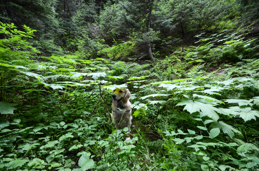
Meeting of the Waters trail starts a few miles west of Rogers Pass on the Trans-Canada Highway. This is a great day hike if you're just passing through the park, and want to stretch your legs for a bit outside as the trail is one of the shortest and easiest in the whole park. Only one kilometer long, it loops from the campground up the Asulkan Trail, crosses a bridge at the point where the Asulkan Brook joins the Illecillewaet River and returns on the Perley Rock trail. If you want to add more distance, follow the Asulkan or Perley Rock trails to get closer, and better views, of the glaciers in the park.
Make sure you've paid your entrance fee and that the trail is open. While humans love to see the sights of the rivers coming off the glaciers, they also make a environment for wild berries, a favorite of the local bears. If there is bear activity, the trail may be closed to smaller groups, or hikers with dogs. Make sure you've got bear spray handy!
3
Abbott Ridge
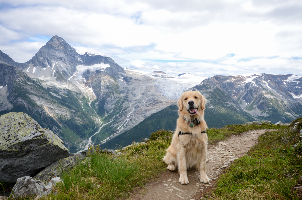
If you have more time, and want are willing to hike longer, consider hiking up to Abbott Ridge. The trail starts at the same place as the Meeting of the Waters trail, but forks off uphill shortly after. The trail winds uphill to Marion Lake, which is 3.6 kilometers from the base. Don't stop here though, as the views only get better.
Between Marion Lake Abbott Ridge, you will break out of the forest and into true alpine tundra. The trail winds through alpine snow melt pools and chattering marmots, until it finally ends on a narrow ridge, surrounded by glaciers and peaks. Make sure you've got bear spray handy!
From the ridge, you can gaze down at the Trans-Canada Highway, and the railway that parallels it. In fact, the ridge you are standing on is named after Henry Abbott, one of the early railroad men who helped build the Canadian Pacific Railway, which you are looking down upon.
All of our map-based travel guides and itineraries are selectively curated by fellow travel enthusiasts.
Questions or suggestions? Let us know at contact@fixertravel.com. If you like the guides, please feel free to share with your friends!